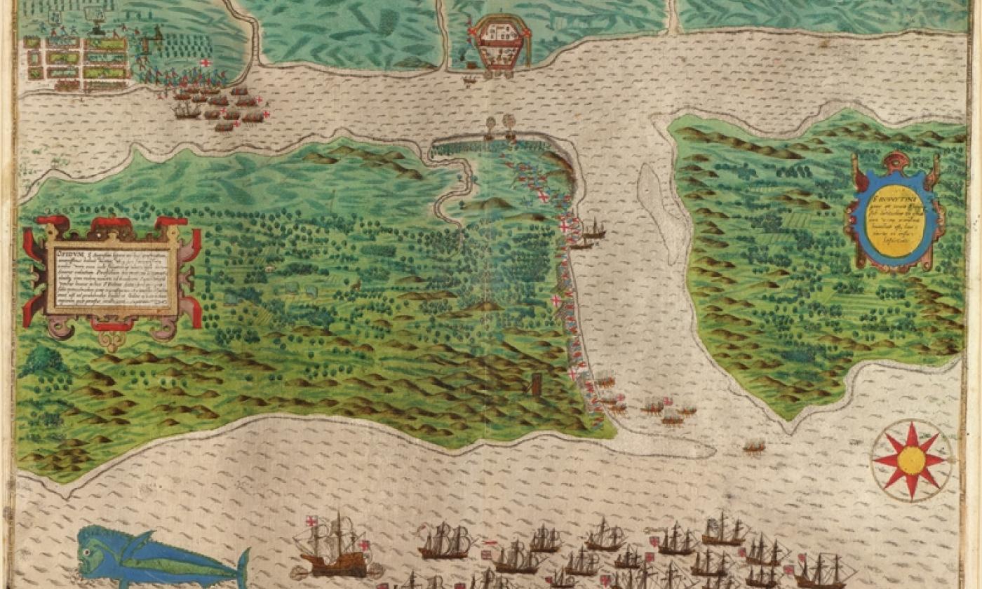
From the historical maps we have archived visitors can see many interesting things including the route early explorers took into St. Augustine, how the historic bayfront has been altered over the years, and more. The historical maps show detailed accounts of explorer’s routes and how people thought St. Augustine and the state of Florida looked.
1584, La Florida, Abraham Ortelius
1589, St. Augustine, Drake
1591, Florida, Jacques Le Moyne
1727, West Indies, Herman Moll
A map of the west-indies with the adjacent countries. Also trade winds and several tracts made by Galeons and Flota from place to place.
1740, View of St. Augustine, Silver
1764, Plan du Port de St. Augustin, Jacques Bellin
From Jacques Nicholas Bellin, Petit Atlas Maritime, 1764. Hand-colored engraving. Map size is 6.25" x 8.25".
1765, East & West Florida, Thomas Kitchin
1768, North America & the West Indes, Thomas Jefferys
Pais Cedes, Sheet IId. Containing the Peninsula and Gulf of Florida, with the Bahama Islands.
1768, North America & the West Indes, Thomas Jefferys
Florida from the latest authorities.
1783, Plan of St. Augustin, John Bew
Plan of the town and harbour of St. Augustine in east Florida. Plan originally published in London by Thomas Jefferys. Map size is 6.5" x 9.5".
1819, Plan of St. Augustine, Birch
1898, Florida East Coast Railway Map
Published for Florida East Coast Railway and Florida East Coast Steamship Co., "The East Coast of Florida is Paradise Regained"
Amelia Island, 1770, Jefferys, after De Brahm and Fuller